
Walk a Town of Union Street
A road name is a starting point, not a conclusion. Begin with one exact Town of Union address and use it to collect a parcel ID, official 911 address, map position, tax result, and deed reference. Image Mate and the Town Assessor identify current property data; the GIS map adds parcel shape and nearby public-service layers; TaxLookup works from a street number or name for a chosen year and jurisdiction. The recorded deed chain then supplies a legal transfer trail. For a much older address, an address-ordered criss-cross directory can supply a historical lead that should be checked against its year and locality heading. A street directory result needs that source trail.
- Search the exact address in Image Mate, restrict the municipality to Town of Union when needed, and preserve each parcel ID.
- Open the same parcel in the GIS Parcel Mapper, then compare its 911 address, boundary, zoning, service, historic, and aerial layers.
- Select Broome County and Union in TaxLookup, choose the tax year, and repeat the street-number or street-name search for the segment being studied.
- Use the owner or book and page reference as a lead in the Broome County Clerk's SearchIQS collections, moving from current deeds to older series as needed.
- For a dated household clue, consult a city or rural directory and a reverse directory where the publication actually includes the locality.
That order keeps the Town of Union street directory tied to address-keyed records. It also avoids treating a current owner field, a delivery address, or an old directory entry as a statement about a particular person today.
Image Mate on Town of Union Streets
Broome Image Mate is the broadest address-search form in this Town of Union street directory workflow. Its default scope is countywide, so a street result should be narrowed with Municipality or ZIP and checked against the parcel detail. Partial text is supported for Parcel Address and Owner Last Name. The form also includes Parcel ID Number, spatial extent, acreage, assessed value, school district, utilities, property class, current land use, and general zoning filters. Those added fields help distinguish similar roads without converting a property record into a list of people.
The Town of Union Assessor is the municipal companion for assessment, parcel inventory, exemptions, current owner, and owner mailing-address information. It maintains about 23,000 parcels and identifies the official 911 address as an important local key. Copy the wording and punctuation of an address before comparing it with another record series.
The Assessor's official record description is visible in this Town of Union source page.
Assessment information establishes parcel context and the owner of record. It does not establish that a named person is presently at the address.
| Image Mate field | Search behavior | Street-research use |
|---|---|---|
| Parcel ID Number | Exact or partial identifier | Carries a tax-card result into GIS and deed research. |
| Owner Last Name | Full or partial text | Finds an owner of record, which may be a business, trust, or other entity. |
| Parcel Address | Full or partial text | Browses a road and supports a partial-address pass. |
| Municipality and ZIP | Selectors | Separate legal parcel context from postal delivery geography. |
| Class, zoning, utilities, and school filters | Selectors or ranges | Clarify the type and setting of a parcel, not a resident identity. |
Town of Union Street Mapper
The Broome County GIS Parcel Mapper accepts a Parcel ID Number, Owner Name, or Parcel Address, including partial text. On a Town of Union street, use the map to see whether the address result fits the parcel geometry and to note gaps between parcel IDs. The Measure/Get Coordinates and latitude/longitude controls help identify a location, while the connected tax-map sheet keeps the search tied to the local mapping system.
This Parcel Mapper view shows the available controls and layers for a Town of Union street directory search.
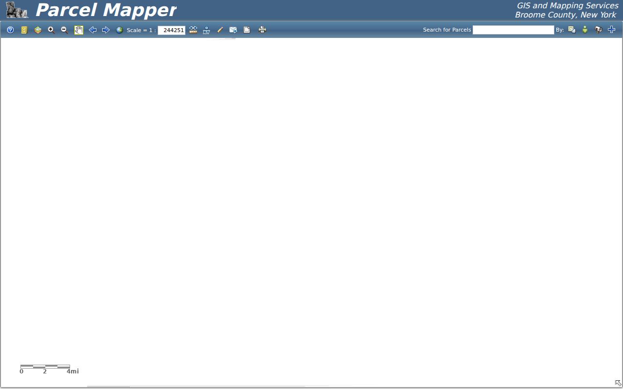
Use the map as public reference material. Broome County warns that it is not a legal survey or an official record, and a layer can be newer or older than the tax data being compared.
Useful layers include Town and village zoning, school districts, polling places, public-safety facilities, water and sewer, FEMA and flood information, historic districts, and aerial photography. They describe the setting around a street address. They do not identify a current household.
TaxLookup on Town of Union Streets
TaxLookup for Union offers another address route. After choosing Broome County, Union, and a tax year, the form accepts a street number and name, owner last name or business, tax map number, or bill number. Its instructions say to omit Street, Road, or Avenue, so an address can be tried as a number and road name, the number alone, or the road name alone. Repeat the search for each parcel or portion of the road rather than assuming one result covers the full street.
The tax form and year selector appear in this Town of Union TaxLookup source.
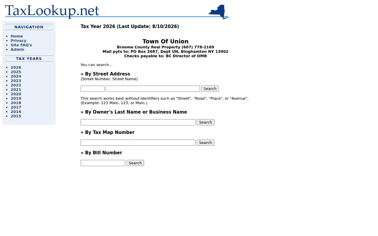
A bill result is year- and jurisdiction-specific. It is useful for a street pass, but should be paired with the current parcel map and the selected tax-year label.
TaxLookup also presents Maine-Endwell and Union-Endicott school-district selections. Those are service-geography choices, not a substitute for the parcel municipality or a conclusion about an address's legal jurisdiction.
Town of Union Address Records
Each record set holds a different part of a Town of Union street trail. A parcel record can identify the map key and owner of record. A tax result records a billing context for its selected year. A deed traces a recorded transfer. Code files can show a permit, certificate, zoning, or compliance lead. Historic directories can place a former household or business at an address, subject to the publication's coverage. Keeping the source and date beside each result prevents a street directory search from blending unlike records.
| Address source | Custodian | What it can show | Access route |
|---|---|---|---|
| Image Mate and assessment data | Broome Real Property and Town Assessor | Parcel ID, situs, mailing field, owner of record, class, value, inventory | Online search, municipal assessment route |
| Parcel Mapper | Broome County GIS | Boundaries, 911 address context, map layers, tax-map sheet | Online viewer and map/data request information |
| TaxLookup | Broome tax service | Selected-year tax bill, map or bill number, address result | Online by county, jurisdiction, and tax year |
| Deed collections | Broome County Clerk | Recorded parties, instrument details, book and page, image availability | SearchIQS, historical collections, counter or written request |
| Code records | Town Code Enforcement | Permits, certificates, zoning and compliance material | Document center or a specific Town FOIL request |
| Criss-cross directories | Libraries and historical collections | Address-ordered historical listings | Library, microfilm, online collection, or reverse-directory request |
Follow Town of Union Street Deeds
The Broome County Clerk SearchIQS portal is party- and document-indexed, not a simple address index. Start with the parcel's owner of record, deed book and page, or a known recorded party. Modern land index data and images begin in 1963. Historical Record Books cover 1805 to 1962, while Index Books carry grantor and grantee material from 1806 to 1939 and some indexes through 1988. An address trail may cross more than one collection.
For a modern deed book, SearchIQS uses a D prefix, such as D followed by the book number. That convention does not apply to the historical Index Books path. Search the present grantee, then prior grantor and grantee names with narrow date windows. If an old document is absent after a Town of Union filter is applied, remove that filter and use party, date, document type, or exact book and page. Broome's search help warns that older documents may not carry a searchable town value.
Copy fees and recording fees are different. The County Clerk lists separate portal printing and counter-copy options, while recording charges apply to a new filing rather than a search copy. That distinction keeps a street directory research note from mixing access costs with recording costs.
Town of Union Code Address Files
Town Code Enforcement is an address-specific source for building permits, certificates of occupancy or compliance, zoning, sewer or water, electrical, excavation, fire and safety, signs, pools, and other listed file types. Begin with the exact street address, the kind of record, and a date range. Its document-center links and payment information do not amount to a complete online permit index, so absence from a browser result is not proof that no file exists. It is a record-by-address route, not a general street directory.
When the needed material is not published, submit a narrow request through the Town of Union FOIL process. State the parcel or address, document type, date range, and desired format. That gives the Town a usable description and keeps the request focused on an address record rather than a broad personal search.
Town of Union Street Situs Fields
A useful Town of Union quirk is that a parcel's situs, or physical location, can differ from an owner mailing address. One official sample card pairs a situs at 2910 Main St E with a mailing address at 2906 Main St E and identifies a vacant General Commercial parcel. That contrast is a reason to preserve both fields exactly. The mailing field is a contact or delivery field, while the situs identifies the parcel location.
The official property-card example can be inspected at Broome Image Mate.
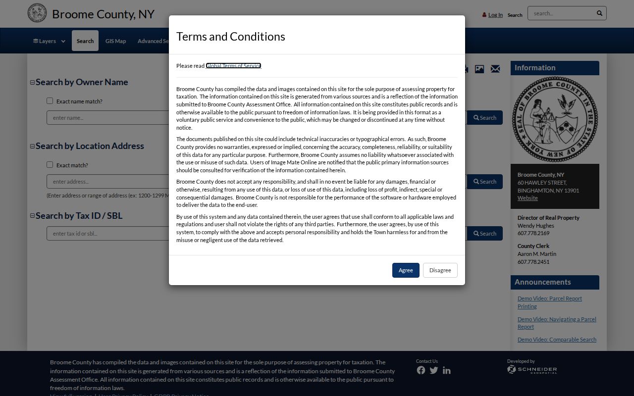
The card illustrates how a tax ID and deed book reference can link a parcel to the Clerk's records. It also shows why the two address fields should not be merged into a claim about anyone's present location.
- Parcel
- A mapped unit of property with a local tax-map identifier.
- Situs address
- The physical address or location assigned to the parcel.
- Plat or tax map
- A mapped depiction used to locate a parcel, boundary, or recorded subdivision reference.
- Criss-cross directory
- An address-ordered directory that can provide a dated historical listing.
Town of Union Street History
Old address work needs a place-name timeline. Union was formed in 1791, long before later village and postal identities. Lestershire became Johnson City in 1916, Endicott incorporated in 1906, and the Endicott and Union villages merged in 1921. Johnson City later annexed areas, including Oakdale in 1962. For a pre-1916 street reference, try Lestershire as well as Johnson City; for a former Union village location, test Endicott labels in the appropriate period. That history changes the labels used in a street directory search.
The map trail can also change. Route 17 construction in 1967 removed homes and the old ballpark according to Johnson City's history. GIS aerial layers from 1944 through 2025 can help compare roads, structures, and open land across time, but they do not establish who was at an address. Historic survey, subdivision, highway, and atlas maps remain a better route when a street pattern has changed.
Town of Union Criss-Cross Records
For historical address questions, the Library of Congress reverse-directory guidance explains that criss-cross directories are arranged by street address and number rather than by name. A request should name the place and year. This can complement the Binghamton-area directory shelf, but it is not proof that a particular Union road appears in every volume.
The New York State Library lists Binghamton directory runs from 1857 through 1946, and the 1914 Calkin-Kelly title expressly includes Union, East Union, Endicott, and Lestershire. The historical collections themselves belong on the Town of Union City Directory page; use them here as a dated address lead, then compare the entry with a map, deed, census, newspaper, or original page image.
Note: OCR and locality headings can obscure a street result, so retain the publication year, exact spelling, and page image when possible.
Privacy Limits for Town of Union Streets
A Town of Union street directory can identify parcels, recorded transfers, tax entries, code-file routes, and historical address leads. It cannot reliably establish every person connected with an address. The New York voter tool is an individual self-check with required identity fields, not a street-wide directory, and Election Law section 3-103(5) limits voter-file requests to an elections purpose. New York's Address Confidentiality Program and confidential-voter process may also shield an address or record. Do not try to fill those gaps by combining records to infer a protected location.
For a current parcel concern, return to the custodian and the source date. For a safety concern, contact law enforcement or a qualified support resource rather than pursuing a person through address records.